Search
Close this search box.
Search
Close this search box.

Infrastructure Inspection and Corrosion Detection

Acquiring Hyperspectral Data and Imagery for Remote Detection of Material Degradation

In studies undertaken by independent agencies, the direct cost of corrosion in the US commercial, residential and transportation sectors has been estimated to be nearly $138 billion dollars per year. Graphic courtesy US Department of Transportation.

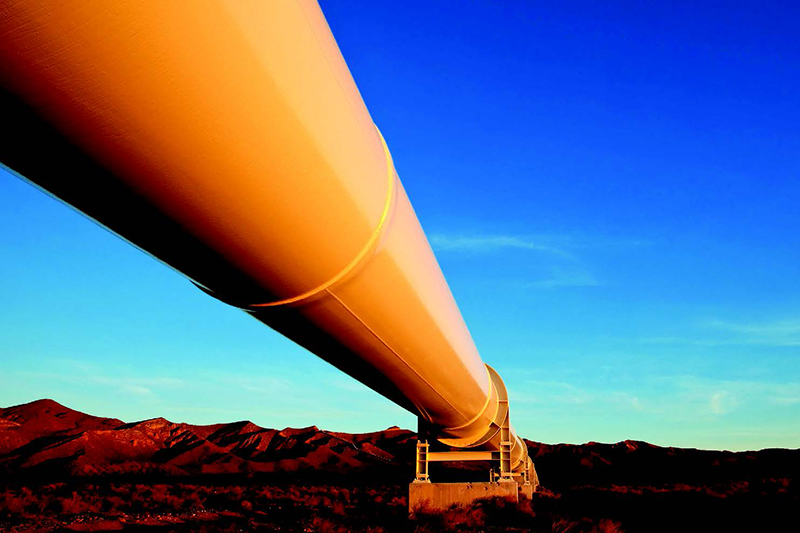
All materials degrade over time, and when those materials provide structural integrity for infrastructure such as buildings, dams, towers, bridges, rail, and roads; or provide energy delivery in the form of pipelines and electrical lines, early detection can save lives, as well as money.

According to a comprehensive study, direct costs total nearly $138 billion dollars and indirect costs associated with corrosion total more than $275 billion dollars per year.1 These increase over time.

Conventional methods of on-site testing can be labor intensive and provide only a glimpse of a wide area. The hope is that one small area accurately represents a much larger area that cannot be economically tested in the same way.

Headwall provides commercial-off-the-shelf (COTS) as well as customized hyperspectral imaging (HSI) sensors and turnkey solutions designed for remote sensing over a wide area, and range across the visible and near-infrared spectrum.

Headwall HSI sensors can be used for applications such as detection of:

  • Asphalt degradation
  • Corrosion of various polymers
  • Oxidation of ferrous metals
  • Paint condition
  • Vegetation encroachment
  • Water pooling or the presence of excess moisture


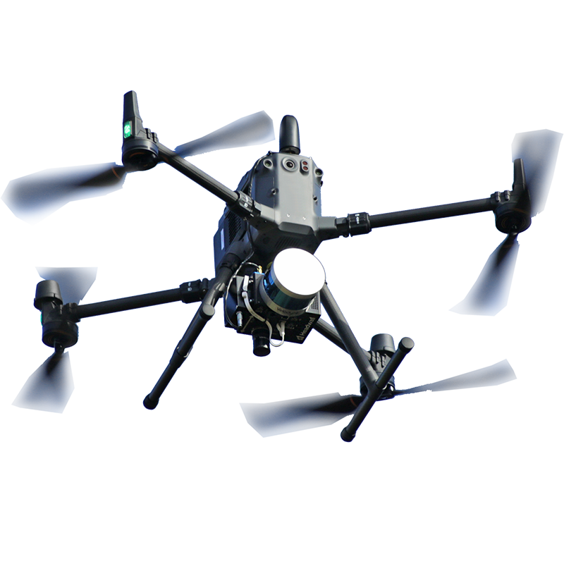
In additional to hyperspectral imaging, Headwall offers the first integrated platform with light detection and ranging (LiDAR) system and HSI on a lightweight unmanned drone with data fusion. So capturing a point cloud for creating a high-resolution digital elevation model (DEM) with hyperspectral information about the subject being scanned is possible, even simultaneously.

Unmanned inspection has gained traction amongst infrastructure owners and operators because of the high cost of manned flight operations.
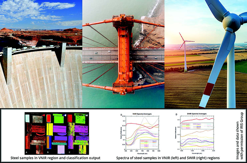
Figure 2. Hyperspectral imaging (HSI) can provide infrastructure owners and operators with the capability to detect material degradation, ideally before the material has been severely compromised. The lower set of 3 images from a recent study show the spectral characteristics of steel samples using HSI techniques across the VNIR and SWIR ranges.

Value of Spectral Imaging:

Figure 3. Pipelines, power lines, and towers are examples of structures subject to aging and corrosion due to environmental conditions, as well as the contents that they carry. Time-consuming and potentially hazardous visual inspection can be costly and dangerous, and inspection by high resolution color (RGB) cameras can miss early warning signs of failure that could be detected using hyperspectral imaging.
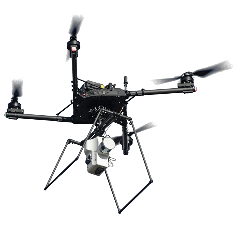
Figure 4. A Headwall UAV based on the DJI Matrice 600 Pro, equipped with a Co-Aligned VNIR-SWIR sensor and LiDAR, scans a runway with permission at Hartsfield-Jackson Atlanta International Airport..

A low-altitude airborne solution such as Headwall’s Hyperspec® Nano or Co-Aligned VNIR-SWIR sensor payload on a DJI Matrice 600 Pro UAV can be programmed to follow a precise flight path, optimized for efficiency. Instead of shutting down a busy runway for days for tedious ground-based inspection, a UAV equipped with HSI and optional LiDAR can perform an automated inspection in just a few hours.

Flight planning and logging, including the capture of precise GPS data are built-in features of the software package, as well as fast offloading of hyperspectral and LiDAR data in between flights.
Headwall HSI sensors come in a variety of wavelength ranges and form factors, and can also be used for ground truth imaging to augment airborne imaging. These sensors are robust, small, and light, making transportation and setup easy.

Visible-to-near-infrared (VNIR) sensors can be used to identify encroachment of vegetation, and short-wavelength near-infrared (SWIR) sensors can be used to image terrain, man-made structures, and even to identify chemical signatures that can indicate the condition of underlying material.
Want to know more?

Our team of expert can explain how headwall sensors can be used to image terrain, man-made structures, and even to identify chemical signatures that can indicate the condition of crital infrastructure

More Application Notes

An RGB image of a mixture of herbs and spices alongside a hyperspectral false-color scan of the same pile.
Cayenne and Oregano

Spectral classification via the perClass Mira Software makes the task of assessing herb and spice quality less challenging by providing a clear indication of the

Read More »

Explore more content

Hyperspectral 101

Webinar / Videos

Published Research